
Digital/Geographic Tools
Look through these tools as you are gathering data on distress, industry clusters, and other assets in your region. Data and information from these tools can inform an EDA application or an upcoming CEDS update.

National Economic Resilience Data Explorer
The National Economic Resilience Data Explorer (NERDE) consolidates a wide range of publicly available data about local and regional economic conditions. The searchable information is displayed at the Economic Development District (EDD) and county levels in two separate dashboard tools.

Economic Development Capacity Index
The Economic Development Capacity Index (EDCI) uses publicly available data to assess critical elements that contribute to a county’s overall economic development capacity.

State and Local Economic Development Strategies
The State and Local Economic Development Strategies (SLEDS) Database compares each state’s strategic plan with the Comprehensive Economic Development Strategy (CEDS) for each local Economic Development District (EDD) in the state to encourage strategic alignment between planning documents.
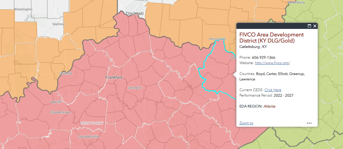
Economic Development District Map
This interactive map provides information about each EDA-designated EDD’s regional service area, website, contact information, and EDA regional office. Users can identify which EDD serves their location and navigate quickly to the Comprehensive Economic Development Strategy (CEDS) for strengthening local economies and serving.